The Bay of Fundy, located between New Brunswick and Nova Scotia, is home to the world’s highest tides, shaped by ancient tectonic rifting, glacial carving, and the rhythmic pull of the moon. In this article, I blend personal stories of growing up on the bay with the science behind the dramatic Bay of Fundy tides, their unique geology, and the many natural wonders they reveal.
1 Where the Bay of Fundy Tides Shaped My Life
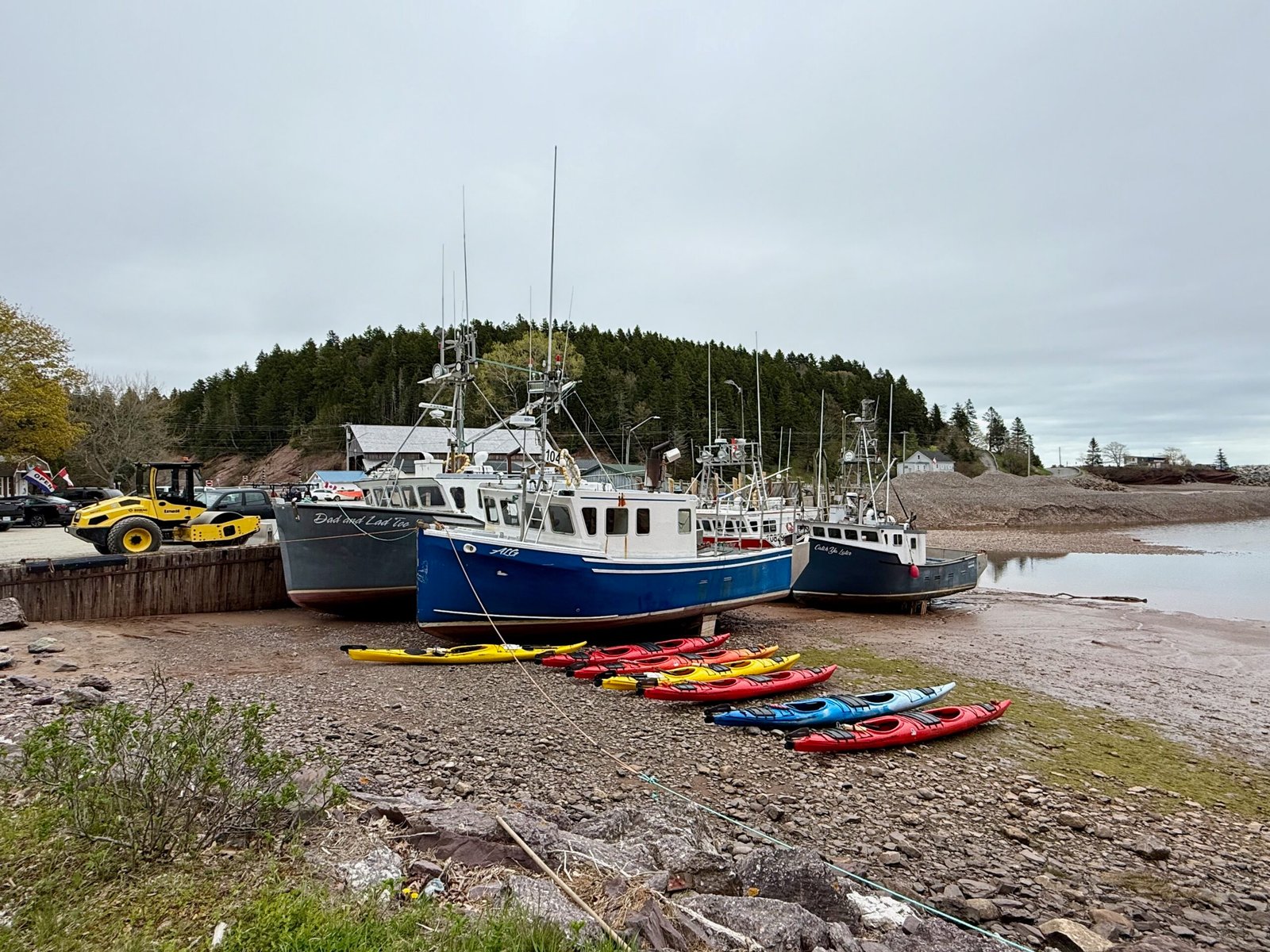
I was born and raised on the shores of the Bay of Fundy, in the small town of St. George, New Brunswick. Nestled between rocky headlands and the restless sea, St. George is a community shaped by the rhythms of nature and industry – fishing, salmon aquaculture, and the pulp and paper mill that once defined the town. My earliest memories are of standing at the water’s edge, watching the Bay of Fundy tides vanish and return with astonishing regularity. Twice a day, the bay would empty to its muddy floor and then rush back with a roar, swallowing beaches, wharves, and anything left too close to the tide line.

My father loved life on the water. Many of my childhood hours were spent boating on the bay – usually for fishing, or watching the tide rise and fall from docks that seemed to float at different heights every time I returned. That daily tidal rhythm became as familiar to me as the sunrise, and I grew up with an intuitive sense of when the ocean would return. Over time, I learned that not all tides are equal – that spring tides are higher when the sun and moon align, and that the moon’s pull subtly shapes our world every hour of every day.

Later, I lived in Saint John, the industrial heart of New Brunswick, where the Bay of Fundy tides assert themselves in spectacular ways. There, the Reversing Falls churn and froth as massive tidal currents collide with the Saint John River, reversing its flow twice daily. I’ve also explored many other Fundy phenomena: the surreal sea stacks of Hopewell Rocks, the rare tidal bore that surges up the Petitcodiac River in Moncton, and the mighty Old Sow Whirlpool near Deer Island – the largest tidal whirlpool in the Western Hemisphere.

But the Bay of Fundy is more than a collection of natural oddities. It’s a geological wonder, shaped by forces that reach back hundreds of millions of years – and nowhere is that more visible than through the daily rhythm of the Bay of Fundy tides.
2 Quick Facts About the Bay of Fundy
- Location: Between New Brunswick and Nova Scotia, Canada
- Length: Approximately 270 km (170 miles)
- Width: Ranges from 50 km (31 miles) at its widest to about 5 km (3 miles) at its narrowest
- Depth: Up to 200 metres (656 feet)
- Tidal Range: Up to 16 metres (over 50 feet); highest recorded tides occur near Burntcoat Head, Nova Scotia
- Geological Origin: Ancient rift valley formed ~350 million years ago
- Unique Features: Reversing Falls, tidal bore, Old Sow Whirlpool
- Designation: Home to North America’s first UNESCO Global Geopark (Stonehammer)
- Water Temperature: Typically ranges from 0°C (32°F) in winter to 12 – 14°C (54 – 57°F) in summer
- Peak Tidal Activity: Most dramatic tides occur during spring tides, especially around the equinoxes (March and September)
3 The Ancient Rift Valley Beneath the Tides
Long before the first fishing boats launched from St. George or the nearby fishing village of Blacks Harbour, the land beneath the Bay of Fundy was splitting apart. Around 350 million years ago, during the late Paleozoic era, tectonic forces attempted to tear a new ocean basin into what is now Atlantic Canada. This rifting didn’t fully succeed, as the Atlantic eventually opened farther east—but it left behind a deep, fault-bounded valley that would one day fill with seawater.

That ancient rift valley is the skeletal structure of the modern Bay of Fundy. Later, during the last Ice Age, massive glaciers deepened the valley even further. As they receded around 12,000 years ago, sea levels rose, flooding the valley and creating the bay we know today. The land, still rebounding from the weight of the glaciers, subtly shifts even now.
The bay’s unique funnel shape – wide at the mouth and narrow at the head, helps trap and amplify tidal energy. Combined with the rift’s depth and length, this creates a natural resonance effect. The incoming tide times perfectly with the bay’s oscillation, like pushing a swing at just the right moment, causing the tides to build higher and higher. The result: the highest tides on Earth.

While the bay’s geology tells one story, its name tells another. The word “Fundy” is believed to come from the Portuguese word fondo (meaning bottom or depth) or funda (deep). Early European explorers were struck by the sheer depth and tidal range of the bay, impressions that still hold today.
4 Cold Waters and Coastal Climate
Growing up, I noticed something else about the Bay of Fundy: the water never gets warm. Even in the height of summer, a swim at New River Beach felt like plunging into a liquid glacier. The reason? The Labrador Current, a cold ocean flow that travels southward along the Atlantic coast, feeds the bay with frigid, oxygen-rich water. This not only keeps the water cool but also makes it one of the most biologically productive marine environments in the world. Plankton blooms thrive, feeding fish, whales, and seabirds.

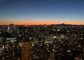
Living in Saint John, I came to appreciate how the bay’s cool waters also shape the climate. On hot summer days, fog can roll in without warning, blanketing the city and dropping the temperature by ten degrees or more. In winter, the opposite is true: the ocean buffers the cold, making the coast milder than inland cities like Fredericton or Moncton. Fundy is a natural air conditioner.

5 A Geologist’s Playground
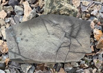
One day in my youth, a small earthquake rumbled through St. George. It wasn’t serious, but it sparked my curiosity and led to my discovery that the Bay of Fundy lies along an ancient fault line. That realization opened the door to a lifetime of fascination with geology. Along the shores of Passamaquoddy Bay and elsewhere, rocks from vastly different geologic eras are stacked and folded, revealing Earth’s past like pages in an open book.
My fascination with fossils began early, and the Bay of Fundy delivered. I found fossilized plants, shells, and ancient imprints along its beaches. Later, I would stand in awe at the Joggins Fossil Cliffs, where 300-million-year-old tree trunks still emerge from the cliff face, preserved in situ. There are few places on Earth where the passage of geologic time is so accessible, so visible, and so humbling.

Saint John is also home to part of the Stonehammer Geopark, North America’s first UNESCO Global Geopark, which celebrates the region’s geologic diversity. Near Dominion Park, you can even find fossilized stromatolites – some of the oldest records of life on Earth.
6 Practical Tips for Visiting the Bay of Fundy
- Best Time to Visit: Late spring to early fall offers the best weather and full access to coastal parks.
- Tide Timing: Visit attractions like Hopewell Rocks or Joggins at both low and high tide for the full experience.
- Footwear: Bring waterproof boots or sturdy shoes, as muddy, rocky terrain is part of the fun.
- Fog Factor: Always pack layers; fog and temperature swings are common, even in summer.
- Check the Tides: Check the Saint John tide schedule for a general reference. Tides vary across the Bay, so use the interactive tide station map if you’re visiting places like Hopewell Rocks or Burntcoat Head.
7 Pro Tips for the Science Traveler
- Bring Binoculars: Watch the dramatic rise and fall of water levels from a distance.
- Compare Locations: Observe tidal variation at different points, including Joggins, Hopewell, and Saint John all reveal different aspects of the Fundy story.
- Talk to Locals: Many communities have deep-rooted knowledge of tides, geology, and weather, especially fishermen and park staff.
- Look for Layers: Geologic strata are visible all over the coast. Learn to read them like a book.
- Geopark Passport: Visit Stonehammer Geopark sites for a self-guided science experience.
8 The Bay as Teacher
The Bay of Fundy is more than a place I call home – it’s where I learned to see the world scientifically. From understanding lunar cycles and tidal forces to exploring ancient faults and fossil beds, it shaped my curiosity and grounded it in observation. And even now, whenever I return, I still feel that same pull: a rhythm older than humanity, more powerful than any machine, endlessly rising and falling like the breath of the Earth itself.
9 More Bay of Fundy Adventures
If you enjoyed this article, explore these other science travel stories from around the Bay of Fundy: